by Nick | May 8, 2024 | Maps
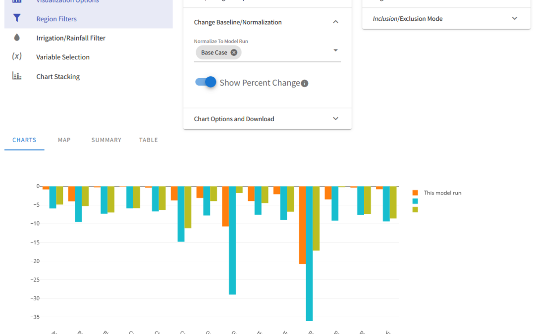
OpenAg is a hydroeconomic decision support application that builds on modeling from Josue Medellin-Azuara’s Water Systems Management Lab. Josue conceptualized a decision support application that would allow people to run numerous scenarios for agriculture across...
by Nick | Feb 17, 2024 | Skills
by Nick | Feb 17, 2024 | Skills
by Nick | Feb 17, 2024 | Skills
by Nick | Feb 17, 2024 | Skills
