by Nick | Jan 14, 2017 | Maps, Projects, Teaching
I receive a number of requests for additional instruction from former students who have taken one class or another. I decided to combine my tutorials for water and ecosystem analysis in ArcGIS into a single book on LeanPub, which allows for work in progress...
by Nick | Dec 30, 2016 | Maps
I led a team of people using FEMA’s Hazus-MH (Multi-Hazard) software to model flood risk to 2 dozen Illinois communities as part of a larger project to measure perceived vs actual risk of flood in those communities. Hazus can be finicky software, so we tried...
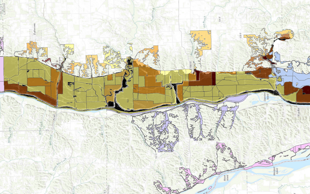
by Nick | Jul 29, 2016 | Code, Maps, Technical
I did all of the programming, GIS, and statistical modelling for a multi-phase National Science Foundation (NSF) funded project to determine mitigation potential for flooding in small midwestern towns. The picture above is from a mockup of an interface we designed to...
by Nick | May 20, 2016 | Teaching
I’m the instructor for the Coursera Specialization in GIS. This video is one of many in a series that teaches the core concepts of projections and coordinate systems to students, to help them understand how we display and manage data about a (near-)sphere on a...
by Nick | Mar 26, 2016 | Teaching
I’m the instructor for the Coursera Specialization in GIS. This video is an introduction to the core concepts of databases with which users of GIS should be familiar. In the video, and the second video that continues the topic, I show how to design data tables...
