by Nick | May 8, 2024 | Maps
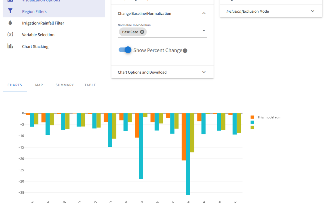
OpenAg is a hydroeconomic decision support application that builds on modeling from Josue Medellin-Azuara’s Water Systems Management Lab. Josue conceptualized a decision support application that would allow people to run numerous scenarios for agriculture across...
by Nick | Dec 17, 2020 | Talks and Presentations
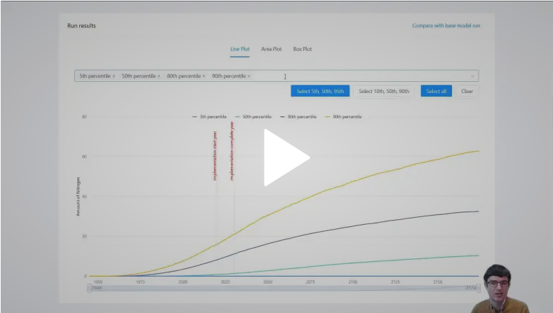
I presented a work in progress decision support application for groundwater nitrate contamination based on changes in land use. This presentation was developed for the American Geophysical Union 2020 annual meeting. For more information on the lab this work was done...
by Nick | Jul 20, 2020 | Maps, Talks and Presentations
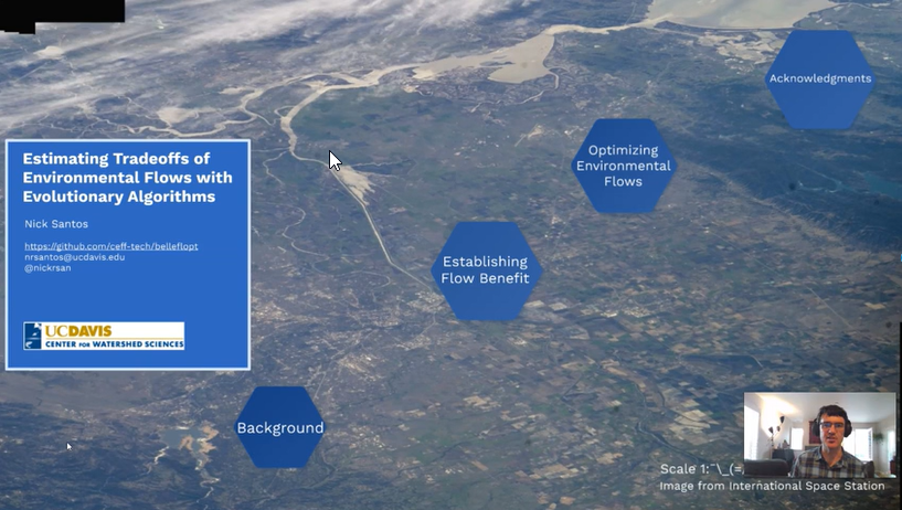
My masters thesis involved work in three areas: Theory and representation of the benefit of environmental flows in a mathematical model Downscaling ecosystem information to the stream-reach scale in order to support estimation of environmental benefit Running an...
by Nick | Sep 4, 2019 | Maps
As part of my master’s thesis, I needed stream-reach scale fish presence information as part of estimating environmental benefit within an evolutionary algorithm. I designed a simple, species-specific downscaling algorithm that translated a species presence...
by Nick | Jun 5, 2019 | Maps
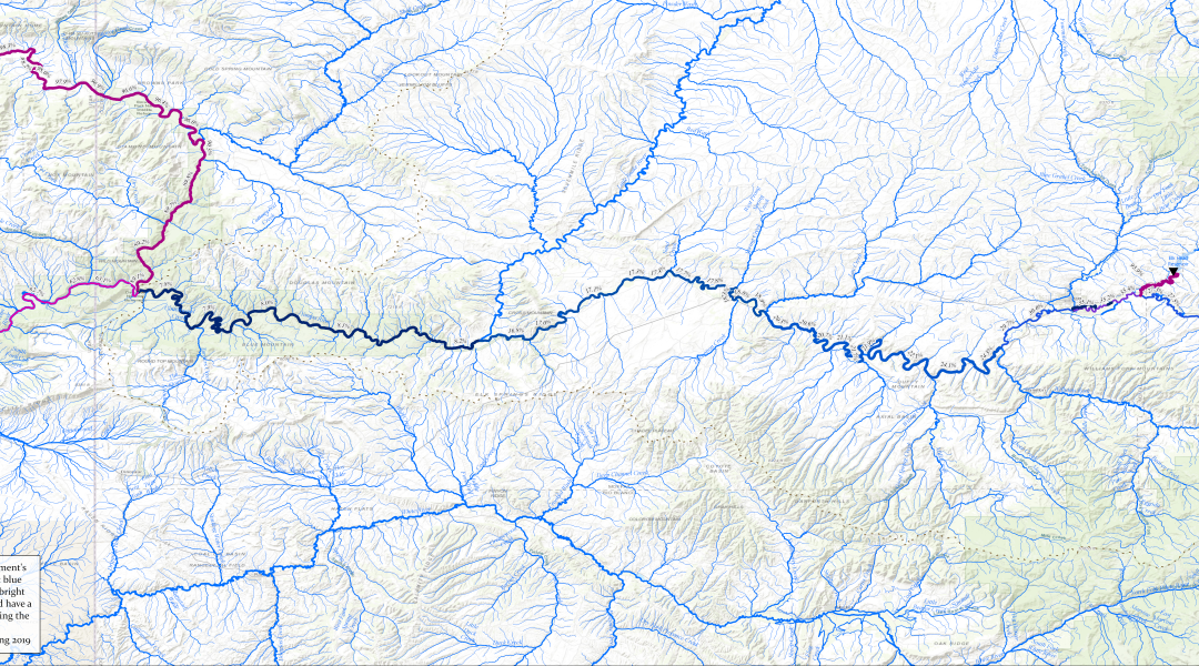
Yampa-Green-River Flow RegulationThe full 50 inch wide print layout, designed to be used in presentations that zoom in on specific locations Yampa Green Flow Regulation 8 1/2 x 11 Print LayoutA figure adapted for 8 1/2 x 11 printing and use in papers and reports For a...
