by Nick | Jan 10, 2016 | Teaching
I’m the instructor for the Coursera Specialization in GIS. This video is one of the introductory videos to explain what GIS is and what it can do, helping everyone get on the same page before teaching the core skills and knowledge. See the rest of the course...
by Nick | Jan 9, 2016 | Teaching
I’m the instructor for the Coursera Specialization in GIS. This video is used in the first course to provide the general concept of GIS to students. See the rest of the course – Fundamentals of GIS.
by Nick | Feb 27, 2015 | Code, Maps
PISCES is a set of ArcGIS tools and data for managing and analyzing the ranges of California’s 133 native fish taxa. Data is stored as a standard relational database, increasing the power over many typical GIS approaches, and allowing for a powerful mapping...
by Nick | Nov 27, 2014 | Code
ArcGIS provides powerful geoprocessing and data manipulation tools in Python, but provides no programmatic access to metadata from the language, meaning that once data is processed, information on the workflow used can’t be attached to the results. To remedy...
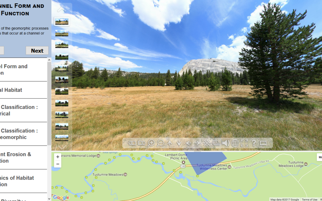
by Nick | Jul 14, 2014 | Technical
As part of a class where students gained extensive experience in the field, my colleague Sarah Yarnell led a team of researchers at the Center for Watershed Sciences that developed a virtual field trip as a pre-field trip teaching tool, and a way to expose the public...
