by Nick | Jul 29, 2016 | Code, Maps, Technical
I did all of the programming, GIS, and statistical modelling for a multi-phase National Science Foundation (NSF) funded project to determine mitigation potential for flooding in small midwestern towns. The picture above is from a mockup of an interface we designed to...
by Nick | Jun 25, 2016 | Talks and Presentations
. In this presentation from the Society for Conservation GIS Conference in 2016, I presented on some of the work I’ve done at the Center for Watershed Sciences. I discuss PISCES, our software to manage, analyze, and display fish species range information, as...
by Nick | Nov 30, 2015 | Maps
For this project, I guided a first time web mapper in how to present the data visually and how to implement that presentation in code. The map uses Leaflet and D3 to provide interactive visualization of California economic data on agriculture at multiple spatial...
by Nick | Feb 27, 2015 | Code, Maps
PISCES is a set of ArcGIS tools and data for managing and analyzing the ranges of California’s 133 native fish taxa. Data is stored as a standard relational database, increasing the power over many typical GIS approaches, and allowing for a powerful mapping...
by Nick | Jul 14, 2014 | Technical
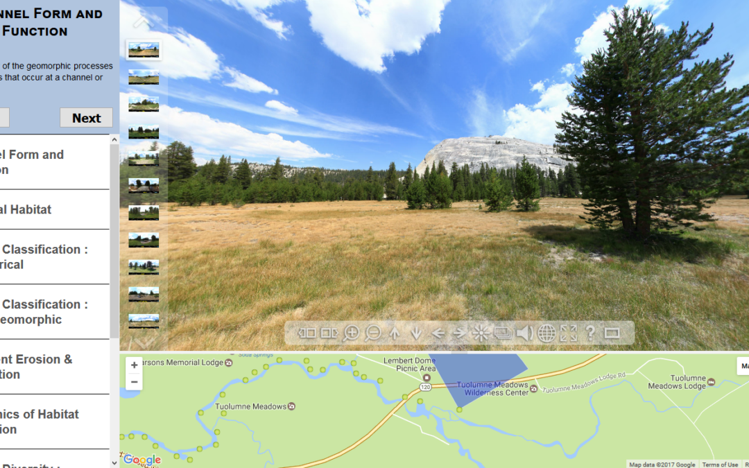
As part of a class where students gained extensive experience in the field, my colleague Sarah Yarnell led a team of researchers at the Center for Watershed Sciences that developed a virtual field trip as a pre-field trip teaching tool, and a way to expose the public...
